Have GPS, Will Travel
by Connie Ong, BAcc (Hons) 1987
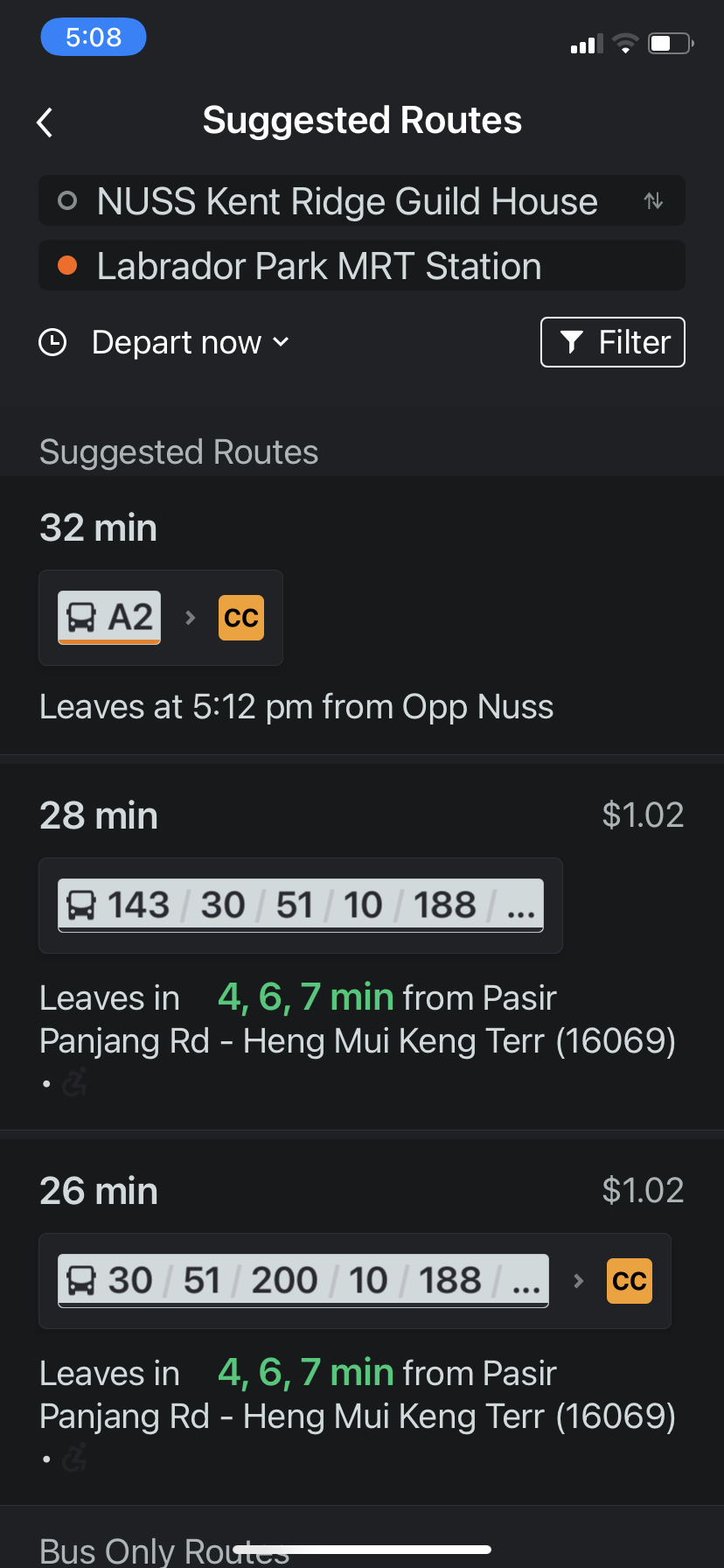
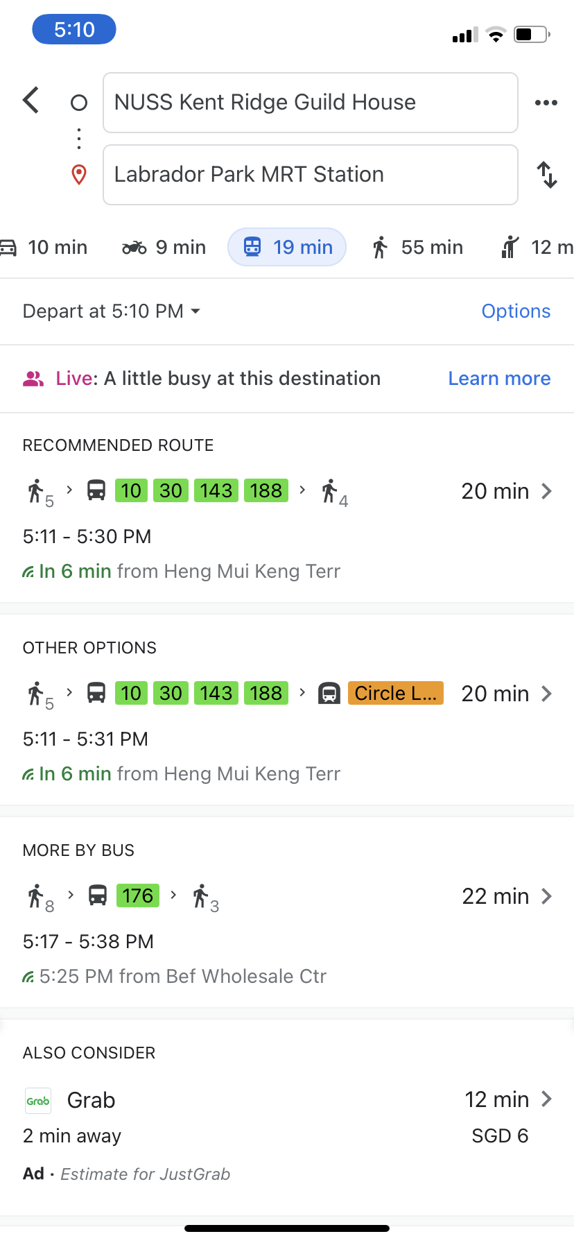
Thank you for your support in the BSA Walking Interest Group. By now, I am sure you know about our Walk with BSA President@Labrador happening on Saturday 30 October. If you have yet to register for it, quickly log into nusbsa.org/events and be the first 12 members to reserve a place to spend 2 hours on an 8km walk with your BSA President - past and present! It's as good as an opportunity on a golf course but without the high costs of green fees. Walking is not only FOC but brings with it plenty of good health benefits too! And if you have registered and now find out that the car is not available - either your parent has a doctor's appointment or your son needs the car for the girlfriend's birthday bash - don't fret, help is here! Take the public transport to Labrador Park MRT, and one of our cool and friendly members will arrange to drive you up to the meeting point. "But how do I get to Labrador Park MRT?" you might ask? Maybe you have not taken public transportation with everyone working from home for some time now. Or perhaps you have not even heard of this MRT station name or the Labrador Park! The most straightforward app to start with is Google Maps. Fill in your location and destination as Labrador Park MRT, and press the middle bus/MRT icon to get the suggested routes. Choose your preferred route. I usually pick the quickest route, but many people I know also pick the route that requires the least walking. For our purpose today, it's a bit ironic to choose the latter as we are in the Walking Interest Group and going for a BSA walk!
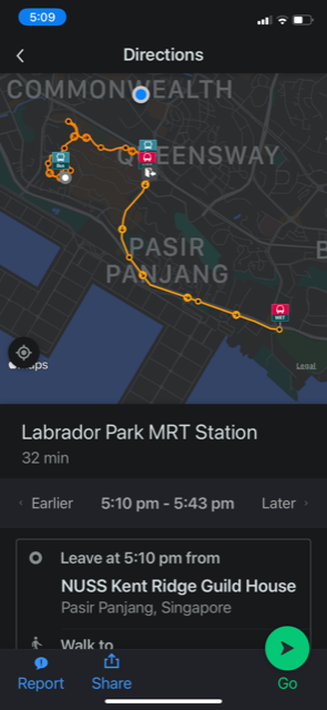
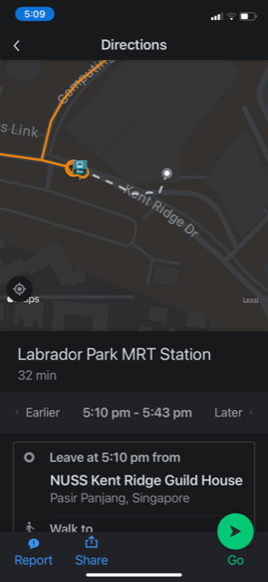
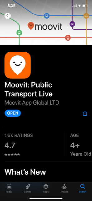
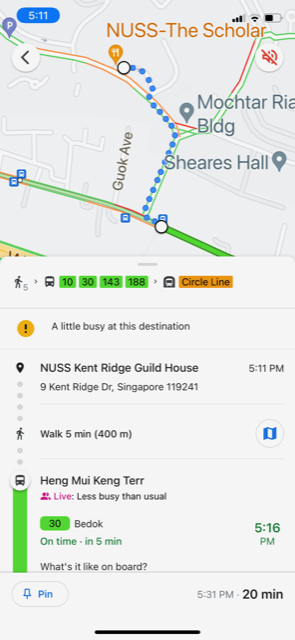
Once you have picked the route, the map of your entire trip will show. Pinch to expand the start point to see the walking path to your first bus/MRT. To me, this is probably the most critical part of this GPS. And as you walk towards the bus/MRT, your location will be shown as a dot on the map, which will tell you whether you are going in the right direction - Oh, what an incredible invention! Since having this GPS, I have been all over Singapore and never once been lost. If you are 'kiasu' like me and want to make sure you really have the shortest route, I usually seek advice from another app called Moovit. This app claims to be the #1 urban mobility app, and it is my go-to app for public transportation in Singapore. I find the features and presentation more user friendly. Like Google Maps, it also shows you alternative routes and helps you navigate your bus/MRT.
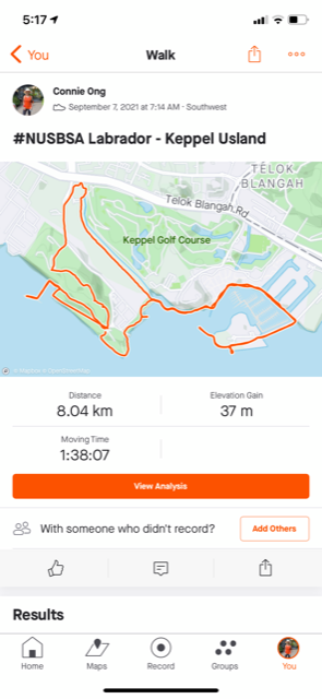
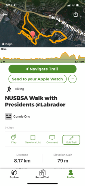
It looks like you are now ready to go. See you on 30 October at Labrador Park meeting point. If you have registered, you will get an email confirmation of the time and meeting point. Don't forget to wear comfortable walking shoes for the 8km walk. The scenery along the trail is lovely. We will take you around Labrador Park to see the Jetty and Battery; we will also go beyond Labrador Park to Berlayer Creek, Bukit Chermin Boardwalk and inside Keppel Island. Join us, and I am sure you will not regret it. You are likely to meet new friends too, and not forgetting the fruitful time you will have picking the brains and chatting with our mystery BSA President! (Take your pick). | |||||||||||||||||||

